

|
|
Hurricanes Photos Page
<Go Back
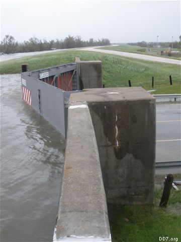
HFPL@Hwy. 365
Port Arthur
Ike - Hurricane Flood Protection Levee at Hwy. 365 in Port Arthur
|
|
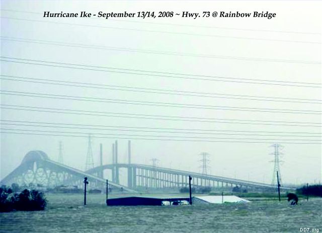
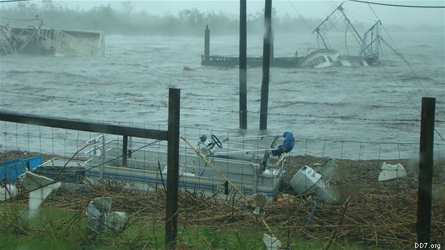
Ike - Hwy.73 @ Rainbow Bridge
Port Arthur
Hurricane Ike ~ September 13/14, 2008
|
|
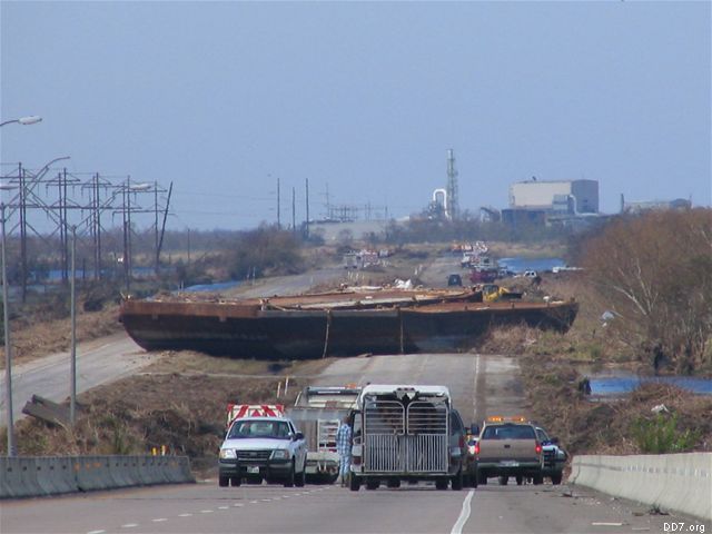
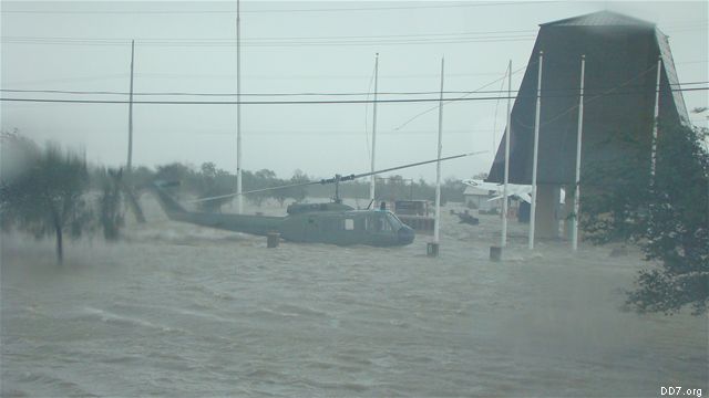
Ike-Barge @ Hwy. 73
Port Arthur
Hurricane Ike - Barge from SNWW settled on Hwy.73 and Taylors Bayou
|
|
Ike-Crane Bayou PS# 7
Port Arthur
Hurricane Ike Pump Station No. 7 ~ Crane Bayou
|
|
Ike-Taylors Bayou
Port Arthur
Hurricane Ike - Photo of Taylors Bayou, Port Acres Area
|
|
Ike-Veterans Park
Port Arthur
Hurricane Ike ~ Veterans Park in Port Arthur
|
|
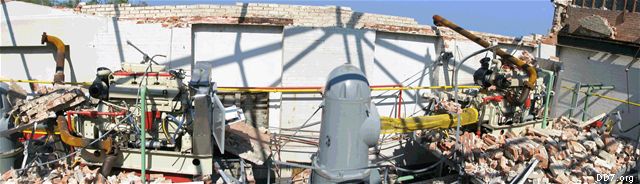
Rita - Damage to Delmar PS10
Port Arthur
Hurricane Rita Damage to Delmar Pump Station PS No. 10
|
|
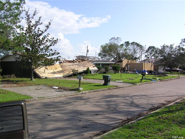
Rita - Home Damage
Port Arthur
Property damage located in Highland Heights near Taft Elementary Port Arthur/Groves area.
|
|
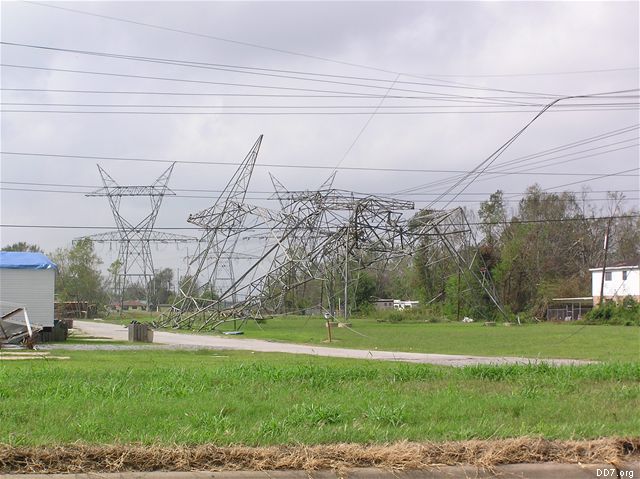
Rita - Power Grid Damage
South Jefferson County
Major power grid lines down Central Gardens Area. This was typical throughout South County. All main power feeds, feeding in or out were down.
|
|
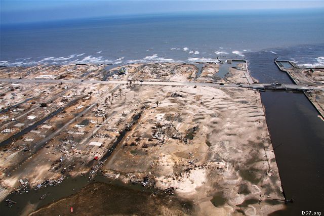
Rollover Pass
Rollover Pass
Remnants of Hurricane Ike, Rollover Pass, Texas
|
|
|
|